Clean and safe streets, parks and public spaces matter to all of us. The quality of our local environment shapes how we feel about our communities, while influencing our wellbeing, civic pride and the condition of local wildlife and nature.
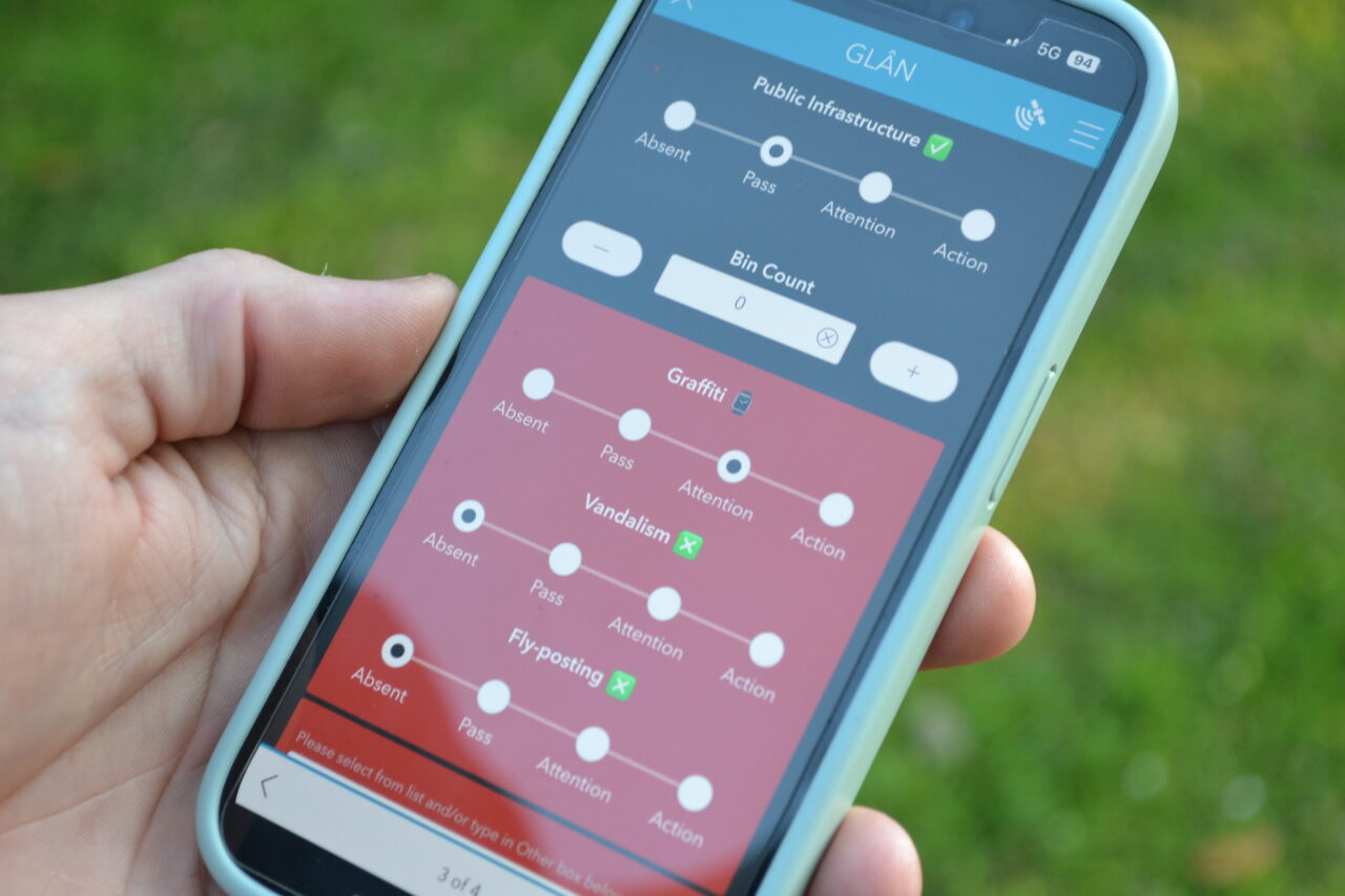
To better understand litter levels and environmental quality across Wales, we piloted a newly developed litter monitoring methodology in 2025. The methodology is called Geospatial Litter Analysis (or GLÂN for short, which means “clean” in Welsh!), and it replaced historic surveys used to collect litter data between 2007-2024.
Why do we monitor litter?
GLÂN is a modern methodology designed to build a clearer, more accurate picture of environmental quality across Wales. Using geospatial mapping and detailed on-the-ground surveys, GLÂN helps identify where and what litter problems exist, and where action may be needed. The information gathered will influence and monitor the impact of environmental policy, including initiatives such as Extended Producer Responsibility (EPR) and Deposit Return Schemes (DRS), while also helping local authorities and other landowners monitor the cleanliness of public spaces.
Where and when do we survey?
GLÂN surveys are undertaken on publicly accessible spaces including streets, parks, transport stations, car parks and bathing water sites. Five trained surveyors operate between April and November every year, covering more than 5,400 surveys across Wales.
How do we know how many surveys to do?
All publicly accessible spaces in Wales are mapped against criteria for survey practicality and safety, which equals around 80,000 sites! We couldn’t possibly visit all of these in a year, so we use a special equation to calculate the minimum number of spaces that need to be surveyed. This ensures that we can be 90% confident that our data accurately reflects local authorities (and Wales) as a whole. We also consider deprivation and other population data to make sure the data fairly represents all communities in Wales, to give us a breadth of opportunity for data analysis.
What data does GLÂN collect?
GLÂN is particularly valuable due to its focus on both litter and wider “street scene”. Surveyors record over 80 litter items or groups, from fast food packaging and cigarette butts to smashed glass and dog fouling, while also assessing broader indicators such as graffiti, flyposting, fly-tipping and more! Together, this provides a detailed understanding of what impacts the feel of an area and what could be improved.
How can GLÂN data be used?
The GLÂN methodology is designed to be transparent, fair, robust and useful to ensure decisions are informed by reliable, consistent data. These principles allow us (and others!) to use the data in a variety of ways.
As well as monitoring cleanliness, the data can be used by local authorities or other landowners to target resources and improve operational efficiency, while steering preventative action. Additionally, GLÂN data can support local improvements and offers greater visibility of the issues affecting communities.
Over time, GLÂN will create a nationwide picture of environmental quality, with every area of Wales surveyed over five years. This, coupled with lots of analysis and other datasets (like data from our Community Impact Map), provides the evidence needed to shape change across Wales, now and for the future.
Explore GLÂN
You can find out more about GLÂN and explore the results in the new litter data section of the website.
You can learn more about some of our most common litter issues by visiting the policy and research pages.
Please contact the Policy and Research Team if you have any questions. Just email leq@keepwalestidy.cymru.
Continue reading...
A record-breaking 330 parks and green spaces in Wales recognised in 2026 Green Flag Awards as the international accolade celebrates 30 years
Read More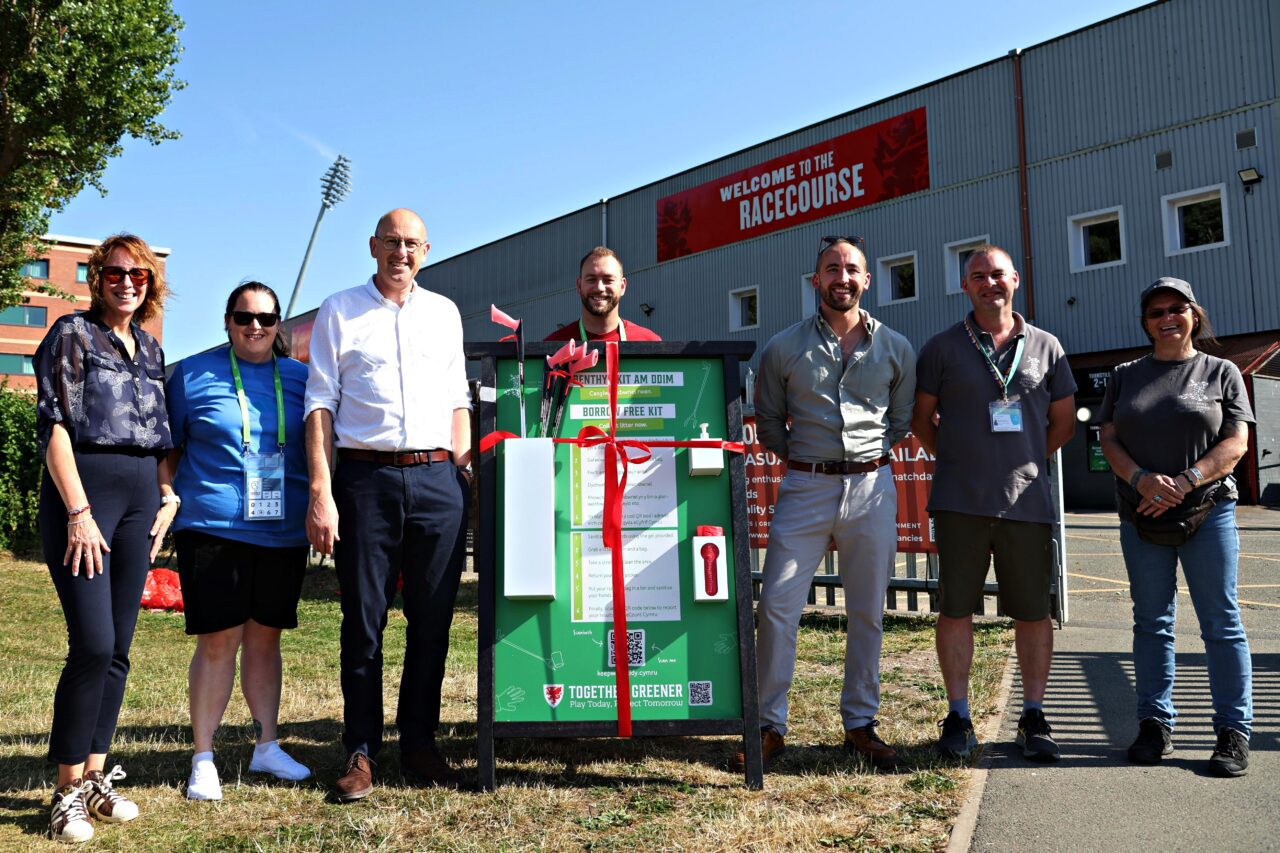
Cabinet Minister and FAW join call for summer of litter picking
Read More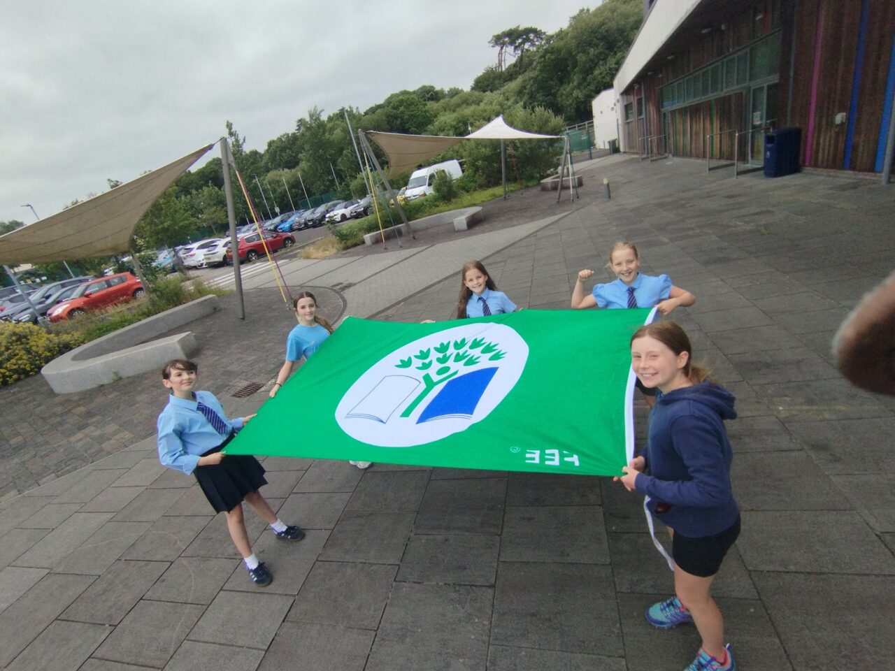
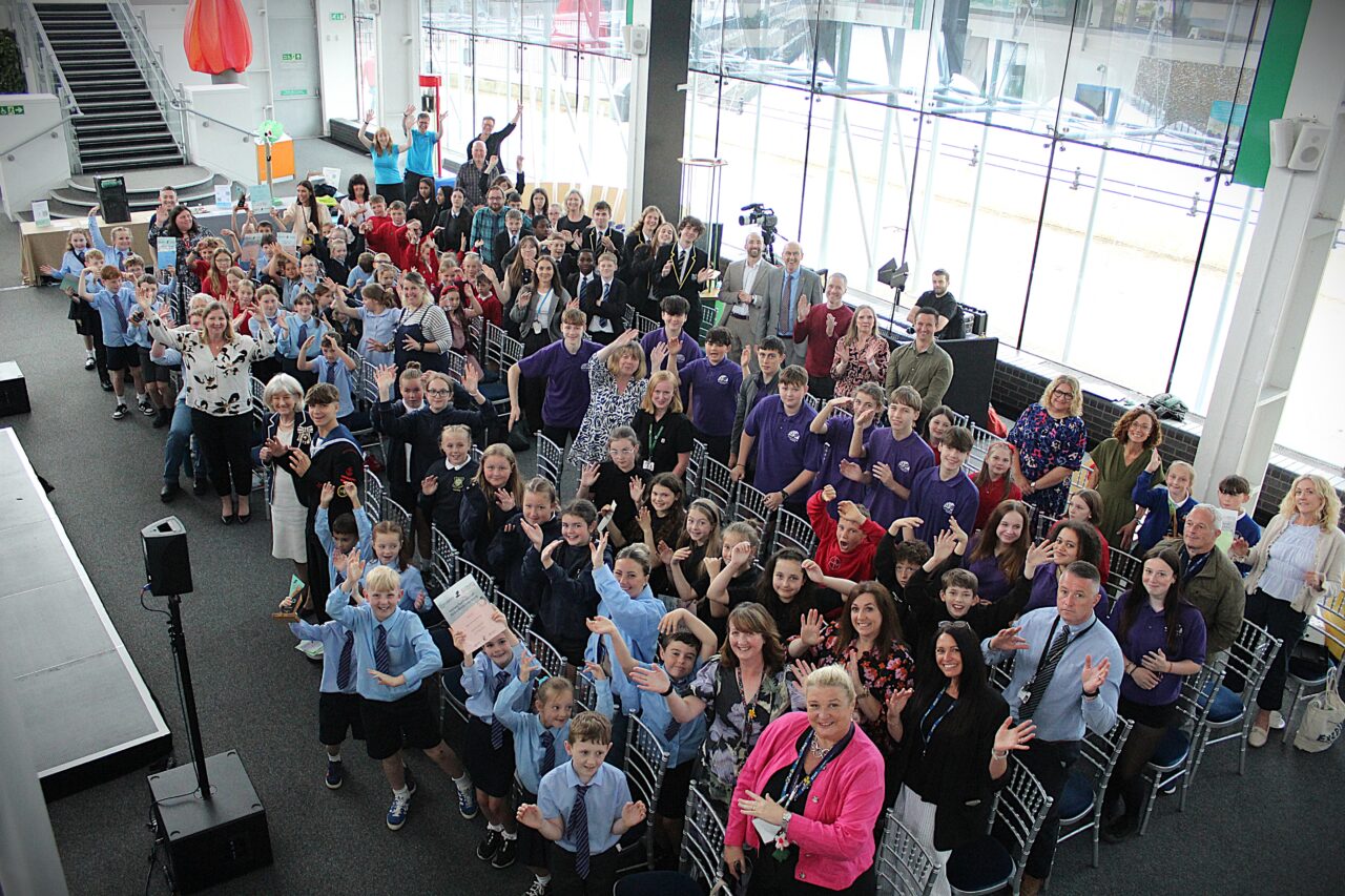
More than three quarters of schools across Wales are taking action for the environment
Read More